File:ColonialRoads.jpg
From Geography
Revision as of 14:58, 19 October 2011 by MarcellaVlaar (Talk | contribs)

Size of this preview: 407 × 599 pixels
Full resolution (730 × 1,075 pixels, file size: 86 KB, MIME type: image/jpeg)
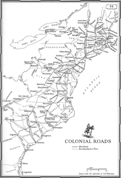
An important roll geography played in imperialism and colonisation was in mapping and naming so called ‘new places’ which enabled European rulers to control territories from a distance (Blunt & Wills, 2000, p. 195).
File history
Click on a date/time to view the file as it appeared at that time.
| Date/Time | Thumbnail | Dimensions | User | Comment | |
|---|---|---|---|---|---|
| current | 14:58, 19 October 2011 |  | 730×1,075 (86 KB) | MarcellaVlaar (Talk | contribs) | (An important roll geography played in imperialism and colonisation was in mapping and naming so called ‘new places’ which enabled European rulers to control territories from a distance (Blunt & Wills, 2000, p. 195). ) |
- Edit this file using an external application (See the setup instructions for more information)
File links
The following page links to this file: